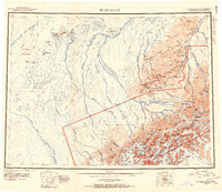
1952 Map of Mount McKinley
USGS Topo · Published 1954About this map
Mt Mc Kinley and the massive Alaska Range dominate the southern half of this landscape, showing the complex glacial systems of the mid-20th century. The ice-covered peaks, including North Peak, Mt Silverthrone, and Mt Brooks, feed immense ice flows such as the Muldrow Glacier and Foraker Glacier. To the north, the terrain transitions into a labyrinth of waterways where the Foraker River and Kantishna River meander toward Lake Minchumina.
Find a feature on this map
115 named features on this map. Tap any name to fly to it.
Don’t see what you’re looking for? This feature index may not catch every label — zoom into the map to look around manually.
Map Details
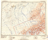
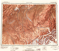
Editions of this 1952 Mount McKinley Map
4 editions found

Other maps of this area

1948 · Kantishna River
USGS Topo · 1:250,000

1949 · McGrath
USGS Topo · 1:250,000

1949 · Talkeetna Mountains D-6
USGS Topo · 1:63,360

1949 · Healy A-6
USGS Topo · 1:63,360

1950 · Medfra
USGS Topo · 1:250,000

1950 · McGrath
USGS Topo · 1:250,000

1950 · Talkeetna Mountains
USGS Topo · 1:250,000

1950 · Talkeetna
USGS Topo · 1:250,000

1950 · Fairbanks
USGS Topo · 1:250,000

1951 · Talkeetna
USGS Topo · 1:250,000