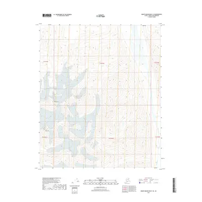
2018 Map of Mount Michelson B-1 SE
USGS Topo · Published 2018About this map
Mt Michelson dominates the high alpine landscape of the Brooks Range in this remote section of the North Slope. The terrain is defined by dramatic elevation changes and significant glacial coverage, with ice fields feeding the headwaters of the Okpilak River as it flows northward through the deep glacial valleys. To the southwest, Tugak Peak stands as another prominent landmark in this high-altitude wilderness. This 2018 survey provides a clear look at the structural geology and hydrological patterns of the region, emphasizing the relationship between the permanent ice fields and the braided river systems that shape the Arctic coastal plain further downstream.
Find a feature on this map
9 named features on this map. Tap any name to fly to it.
Don’t see what you’re looking for? This feature index may not catch every label — zoom into the map to look around manually.
Map Details
Editions of this 2018 Mount Michelson B-1 SE Map
This is the sole edition of this map. No revisions or reprints were ever made.
Other maps of this area

1951 · Demarcation Point
USGS Topo · 1:250,000

1951 · Mt. Michelson
USGS Topo · 1:250,000

1955 · Demarcation Point
USGS Topo · 1:250,000

1955 · Mount Michelson B-1
USGS Topo · 1:63,360

1956 · Mt. Michelson
USGS Topo · 1:250,000

1956 · Demarcation Point B-5
USGS Topo · 1:63,360

1964 · Demarcation Point
USGS Topo · 1:250,000
1983 · Demarcation Point A-5
USGS Topo · 1:63,360
1983 · Mount Michelson A-1
USGS Topo · 1:63,360
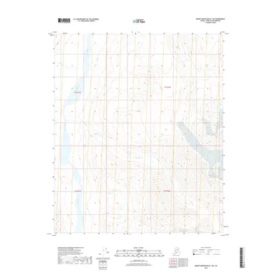
2018 · Mount Michelson B-1 SW
USGS Topo · 1:25,000