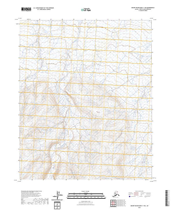
2023 Map of Mount Michelson C-1 NE
USGS Topo · Published 2023About this map
The Hulahula River carves a central path through this arctic landscape, winding northward through the Arctic National Wildlife Refuge. This portion of the North Slope reflects a preserved wilderness state, with the southern half of the quadrangle protected as part of the Mollie Beattie Wilderness. The terrain is defined by the drainage patterns of the Akutoktak River and the braided channels of the Hulahula, showing no signs of permanent human settlement or industrial infrastructure. The surveyor's grid, including townships t4n r32e and t3n r33e, overlay a territory where natural hydrological changes and seasonal wetlands remain the primary features. This data, compiled from recent National Hydrography and Elevation Datasets, provides a precise record of the shoreline and waterway movements in a region largely untouched by development.
Find a feature on this map
10 named features on this map. Tap any name to fly to it.
Don’t see what you’re looking for? This feature index may not catch every label — zoom into the map to look around manually.
Map Details
Editions of this 2023 Mount Michelson C-1 NE Map
This is the sole edition of this map. No revisions or reprints were ever made.
Other maps of this area

1951 · Demarcation Point
USGS Topo · 1:250,000

1951 · Mt. Michelson
USGS Topo · 1:250,000

1955 · Demarcation Point
USGS Topo · 1:250,000

1955 · Mount Michelson C-1
USGS Topo · 1:63,360

1955 · Demarcation Point C-5
USGS Topo · 1:63,360

1955 · Mount Michelson D-1
USGS Topo · 1:63,360

1955 · Demarcation Point D-5
USGS Topo · 1:63,360

1956 · Mt. Michelson
USGS Topo · 1:250,000
1962 · Mt. Michelson D-1
USGS Topo · 1:50,000

1964 · Demarcation Point
USGS Topo · 1:250,000