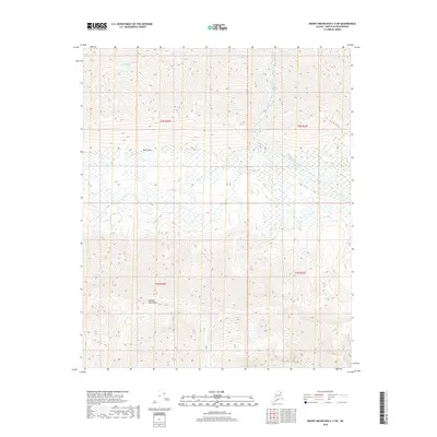
2018 Map of Mount Michelson C-3 SW
USGS Topo · Published 2018About this map
The Shublik Mountains rise prominently in the southern portion of this Arctic landscape, forming a natural barrier above the low-lying Ignek Valley. This 2018 survey reveals a drainage system defined by the northward flow of the Tamayariak River and the Katakturuk River, both of which are fed by smaller tributaries including Ignek Cr and Nahook Cr. The map captures a moment in the modern era of the North Slope where the land remains largely defined by its hydrological patterns and geological formations rather than human settlement. The absence of roads or permanent structures reflects the extreme environmental conditions of this region, emphasizing the importance of these named watercourses for navigation and geography in an otherwise unpopulated wilderness.
Find a feature on this map
10 named features on this map. Tap any name to fly to it.
Don’t see what you’re looking for? This feature index may not catch every label — zoom into the map to look around manually.
Map Details
Editions of this 2018 Mount Michelson C-3 SW Map
This is the sole edition of this map. No revisions or reprints were ever made.
Other maps of this area

1951 · Mt. Michelson
USGS Topo · 1:250,000

1955 · Mount Michelson C-3
USGS Topo · 1:63,360

1955 · Mount Michelson C-4
USGS Topo · 1:63,360

1956 · Mt. Michelson
USGS Topo · 1:250,000

1956 · Mount Michelson B-3
USGS Topo · 1:63,360

1975 · Mount Michelson C-3
USGS Topo · 1:63,360

1978 · Mount Michelson C-4
USGS Topo · 1:63,360
1983 · Mount Michelson B-4
USGS Topo · 1:63,360
2018 · Mount Michelson B-4 NE
USGS Topo · 1:25,000
2018 · Mount Michelson C-3 SE
USGS Topo · 1:25,000