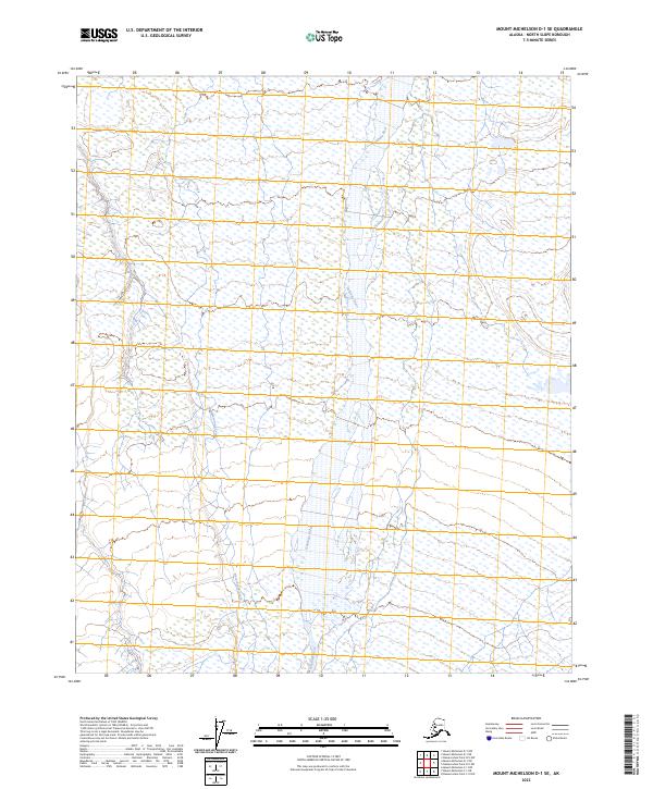
2023 Map of Mount Michelson D-1 SE
USGS Topo · Published 2023About this map
The Hulahula River meanders across the high-latitude wetlands of the Arctic National Wildlife Refuge in this 2023 survey. This remote corner of the North Slope is characterized by its intricate drainage patterns, where the main river channel is joined by the Natarogrok Creek amidst a landscape of unnamed ponds and seasonal watercourses. These braided river systems and their adjacent riparian corridors are vital geographic features of the coastal plain, reflecting a landscape almost entirely shaped by natural hydraulic processes. There are no roads or permanent human settlements recorded within these boundaries, emphasizing the area's status as a protected wilderness. The map provides a detailed record of the hydrography and public land survey divisions, including t6n r32e and t5n r32e, essential for understanding the administrative and environmental layout of this portion of Alaska.
Find a feature on this map
8 named features on this map. Tap any name to fly to it.
Don’t see what you’re looking for? This feature index may not catch every label — zoom into the map to look around manually.
Map Details
Editions of this 2023 Mount Michelson D-1 SE Map
This is the sole edition of this map. No revisions or reprints were ever made.
Other maps of this area

1951 · Demarcation Point
USGS Topo · 1:250,000

1951 · Mt. Michelson
USGS Topo · 1:250,000

1955 · Demarcation Point
USGS Topo · 1:250,000

1955 · Mount Michelson C-1
USGS Topo · 1:63,360

1955 · Demarcation Point C-5
USGS Topo · 1:63,360

1955 · Mount Michelson D-1
USGS Topo · 1:63,360

1955 · Demarcation Point D-5
USGS Topo · 1:63,360

1956 · Mt. Michelson
USGS Topo · 1:250,000
1962 · Mt. Michelson D-1
USGS Topo · 1:50,000

1964 · Demarcation Point
USGS Topo · 1:250,000