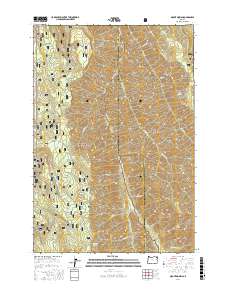
2017 Map of Mount Moriah
USGS Topo · Published 2017About this map
Mount Moriah rises as the central landmark in this high-altitude landscape where the Minam River and Little Minam River converge at the boundary of Union and Wallowa counties. The terrain is a network of named ridges and points, including the prominent Backbone Ridge, Trippier Point, and Monument Point, which provide significant vantage points across the wilderness. The area is divided between the Wallowa National Forest and Whitman National Forest, emphasizing its role as a protected forest reserve.
Find a feature on this map
42 named features on this map. Tap any name to fly to it.
Don’t see what you’re looking for? This feature index may not catch every label — zoom into the map to look around manually.
Map Details
Editions of this 2017 Mount Moriah Map
This is the sole edition of this map. No revisions or reprints were ever made.
Other maps of this area

1906 · Telocaset
USGS Topo · 1:125,000

1955 · Grangeville
USGS Topo · 1:250,000

1959 · Grangeville
USGS Topo · 1:250,000

1964 · Cricket Flat
USGS Topo · 1:24,000

1964 · Wallowa
USGS Topo · 1:24,000

1964 · Minam
USGS Topo · 1:24,000

1965 · Fox Point
USGS Topo · 1:24,000

1965 · Cove
USGS Topo · 1:24,000
1965 · Gasset Bluff
USGS Topo · 1:24,000
1965 · Mount Moriah
USGS Topo · 1:24,000