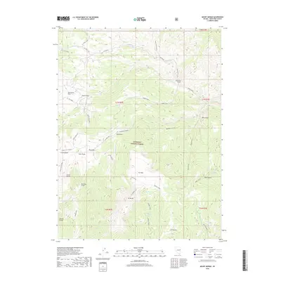
2018 Map of Mount Moriah
USGS Topo · Published 2018About this map
Mt Moriah stands as the central landmark of this high-elevation terrain within the Humboldt National Forest, where the complex topography of the Snake Range is meticulously detailed. The landscape is defined by its deep drainages and prominent flat-topped features, most notably the expansive plateau known as The Table. A network of established paths, including the Chalk Creek Trail and Sheep Canyon Trail, suggests a long history of high-country access through varied canyons such as Deerhead Canyon and Deadman's Canyon. The presence of several remote water sources, including Ungopah Spring and Turnleys Spring, underscores the critical role of hydrology in this arid environment. This 2018 survey reveals a modern snapshot of a protected wilderness area, balancing steep technical terrain with primitive routes like the Water Canyon Loop and Moriah Table-Four Mile.
Find a feature on this map
48 named features on this map. Tap any name to fly to it.
Don’t see what you’re looking for? This feature index may not catch every label — zoom into the map to look around manually.
Map Details
Editions of this 2018 Mount Moriah Map
This is the sole edition of this map. No revisions or reprints were ever made.
Other maps of this area

1956 · Ely
USGS Topo · 1:250,000

1959 · Ely
USGS Topo · 1:250,000

1959 · Sacramento Pass
USGS Topo · 1:62,500

1963 · Ely
USGS Topo · 1:250,000
1986 · Mount Moriah
USGS Topo · 1:24,000
1986 · The Cove
USGS Topo · 1:24,000
1986 · Little Horse Canyon
USGS Topo · 1:24,000
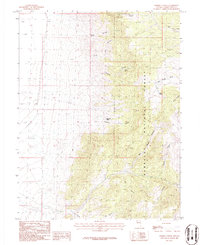
1986 · Sixmile Canyon
USGS Topo · 1:24,000
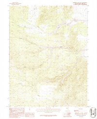
1986 · Mormon Jack Pass
USGS Topo · 1:24,000
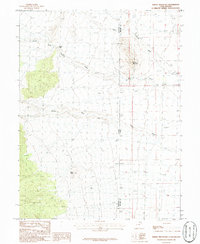
1986 · Spring Mountain
USGS Topo · 1:24,000