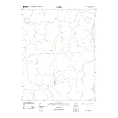
2011 Map of Mount Olive
USGS Topo · Published 2011About this map
Upland and Mount Olive anchor this West Virginia landscape, which is defined by the winding drainages of the Kanawha River watershed. The terrain is a complex network of ridges and hollows, where family history is etched into the land at the Meadows Cemetery and Staten Chapel Cemetery. Early 21st-century road patterns follow the natural contours of the hills, with routes like Whitten Ridge and Ashton Upland Rd tracing the high ground between creek beds. The map documents the persistent rural character of the region, featuring small community hubs like Staten Chapel and various named branches including Eighteenmile Creek and the curiously named Five and Twenty Mile Creek. Researchers can trace the proximity of these settlements to the river and the various forked waterways that have long dictated movement through this part of Mason County.
Find a feature on this map
66 named features on this map. Tap any name to fly to it.
Don’t see what you’re looking for? This feature index may not catch every label — zoom into the map to look around manually.
Map Details
Editions of this 2011 Mount Olive Map
This is the sole edition of this map. No revisions or reprints were ever made.
Other maps of this area

1892 · Huntington
USGS Topo · 1:125,000

1898 · Huntington
USGS Topo · 1:125,000

1899 · Charleston
USGS Topo · 1:125,000

1902 · Milton
USGS Topo · 1:62,500

1906 · Glenwood
USGS Topo · 1:62,500

1906 · Winfield
USGS Topo · 1:62,500

1908 · Glenwood
USGS Topo · 1:62,500

1908 · Winfield
USGS Topo · 1:62,500

1909 · Saint Albans
USGS Topo · 1:62,500

1931 · Saint Albans
USGS Topo · 1:62,500