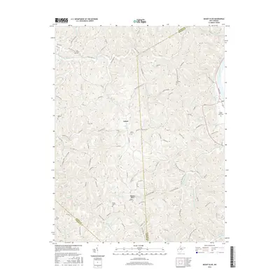
2016 Map of Mount Olive
USGS Topo · Published 2016About this map
Mount Olive and Upland serve as the primary points of settlement in this dissected landscape where Mason County meets Putnam and Cabell counties. The terrain is defined by a dense network of ridges and hollows, including Whitten Ridge and Washington Hill, which separate the various tributaries of Eighteenmile Creek and Five and Twenty Mile Creek. For genealogists, the map is a dense record of family and community heritage, documenting numerous burial grounds such as Evergreen Cem, Meadows Cem, and the Mount Olive Cem. The presence of the Kanawha Trace crossing the quadrangle highlights the enduring importance of established paths through this complex topography, while named springs like Miller Spring and Frazier Spring denote historically significant water sources for the rural homesteads connected by a winding web of county routes.
Find a feature on this map
110 named features on this map. Tap any name to fly to it.
Don’t see what you’re looking for? This feature index may not catch every label — zoom into the map to look around manually.
Map Details
Editions of this 2016 Mount Olive Map
This is the sole edition of this map. No revisions or reprints were ever made.
Other maps of this area

1892 · Huntington
USGS Topo · 1:125,000

1898 · Huntington
USGS Topo · 1:125,000

1899 · Charleston
USGS Topo · 1:125,000

1902 · Milton
USGS Topo · 1:62,500

1906 · Glenwood
USGS Topo · 1:62,500

1906 · Winfield
USGS Topo · 1:62,500

1908 · Glenwood
USGS Topo · 1:62,500

1908 · Winfield
USGS Topo · 1:62,500

1909 · Saint Albans
USGS Topo · 1:62,500

1931 · Saint Albans
USGS Topo · 1:62,500