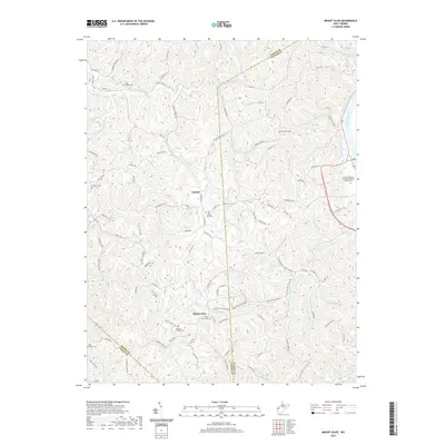
2019 Map of Mount Olive
USGS Topo · Published 2019About this map
Mount Olive and Upland anchor this West Virginia landscape where the borders of Mason, Putnam, and Cabell counties meet. The topography is defined by complex drainage systems, notably the winding path of Eighteenmile Creek and its many tributaries like Right Fork Eighteenmile Cr. To the northeast, the Kanawha River creates a natural boundary, its banks hosting the Fraziers Bottom United Methodists Church Cem.
Find a feature on this map
115 named features on this map. Tap any name to fly to it.
Don’t see what you’re looking for? This feature index may not catch every label — zoom into the map to look around manually.
Map Details
Editions of this 2019 Mount Olive Map
This is the sole edition of this map. No revisions or reprints were ever made.
Other maps of this area

1892 · Huntington
USGS Topo · 1:125,000

1898 · Huntington
USGS Topo · 1:125,000

1899 · Charleston
USGS Topo · 1:125,000

1902 · Milton
USGS Topo · 1:62,500

1906 · Glenwood
USGS Topo · 1:62,500

1906 · Winfield
USGS Topo · 1:62,500

1908 · Glenwood
USGS Topo · 1:62,500

1908 · Winfield
USGS Topo · 1:62,500

1909 · Saint Albans
USGS Topo · 1:62,500

1931 · Saint Albans
USGS Topo · 1:62,500