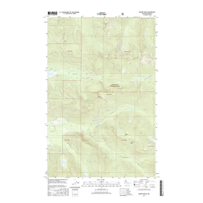
2017 Map of Mount Phelps
USGS Topo · Published 2017About this map
Mount Phelps stands as the central high point of this terrain within the Snoqualmie National Forest, surrounded by a complex system of glacial basins and alpine lakes. The map reveals a landscape defined by significant water resources, including the S Fork Tolt Reservoir and the headwaters of the North Fork Snoqualmie River. The intricate network of forest service roads, such as NFD 5730 RD and NFD 5731 RD, provides access to remote topographical features like Prospectors Ridge and the McClain Peaks. Numerous named bodies of water, including the uniquely named Titicaca Lake, Loch Katrine, and Lake Elizabeth, are scattered across the high elevations. This 2017 survey reflects the modern management of this watershed and timber resource, where natural features like Bare Mtn and the Illinois Basin remain primary landmarks in a region dominated by steep drainage systems like Sunday Cr and Money Cr.
Find a feature on this map
44 named features on this map. Tap any name to fly to it.
Don’t see what you’re looking for? This feature index may not catch every label — zoom into the map to look around manually.
Map Details
Editions of this 2017 Mount Phelps Map
This is the sole edition of this map. No revisions or reprints were ever made.
Other maps of this area
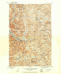
1902 · Skykomish
USGS Topo · 1:125,000
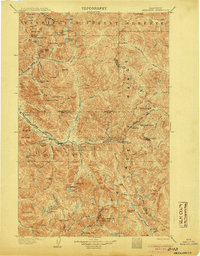
1905 · Skykomish
USGS Topo · 1:125,000
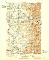
1921 · Sultan
USGS Topo · 1:125,000
1923 · Sultan
USGS Topo · 1:125,000
1957 · Index
USGS Topo · 1:62,500
1957 · Wenatchee
USGS Topo · 1:250,000
1960 · Mount Si
USGS Topo · 1:62,500
1965 · Grotto
USGS Topo · 1:24,000
1965 · Baring
USGS Topo · 1:24,000
1965 · Snoqualmie Lake
USGS Topo · 1:24,000