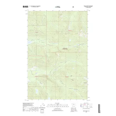
2020 Map of Mount Phelps
USGS Topo · Published 2020About this map
Snoqualmie National Forest dominates this high-altitude landscape in King County, where complex drainage systems and alpine basins define the terrain. The northern reaches are characterized by the N Fork Tolt River and S Fork Tolt River, while the southern half is shaped by the N Fork Snoqualmie River and its tributaries like Lennox Cr and Sunday Cr. This 2020 survey illustrates the remote character of the Cascades, punctuated by prominent peaks such as Bare Mountain and Frozen Mtn. The hydrology is particularly diverse, featuring a series of named high-elevation water bodies including Loch Katrine, Crater Lake, and Lake Elizabeth. Access to these steep ridges is traced through a network of Forest Service roads, such as NFD 5700-1-RD and the seasonal Money Creek Road (Snow), which navigate the narrow corridors between the Illinois Basin and Prospectors Ridge.
Find a feature on this map
45 named features on this map. Tap any name to fly to it.
Don’t see what you’re looking for? This feature index may not catch every label — zoom into the map to look around manually.
Map Details
Editions of this 2020 Mount Phelps Map
This is the sole edition of this map. No revisions or reprints were ever made.
Other maps of this area
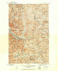
1902 · Skykomish
USGS Topo · 1:125,000
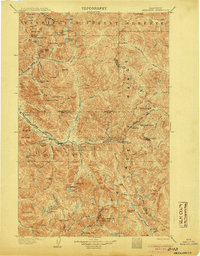
1905 · Skykomish
USGS Topo · 1:125,000
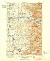
1921 · Sultan
USGS Topo · 1:125,000
1923 · Sultan
USGS Topo · 1:125,000
1957 · Index
USGS Topo · 1:62,500
1957 · Wenatchee
USGS Topo · 1:250,000
1960 · Mount Si
USGS Topo · 1:62,500
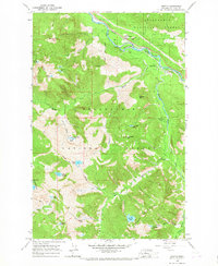
1965 · Grotto
USGS Topo · 1:24,000
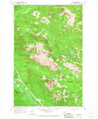
1965 · Baring
USGS Topo · 1:24,000
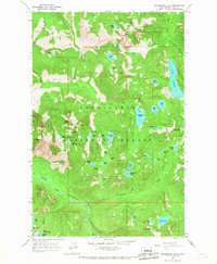
1965 · Snoqualmie Lake
USGS Topo · 1:24,000