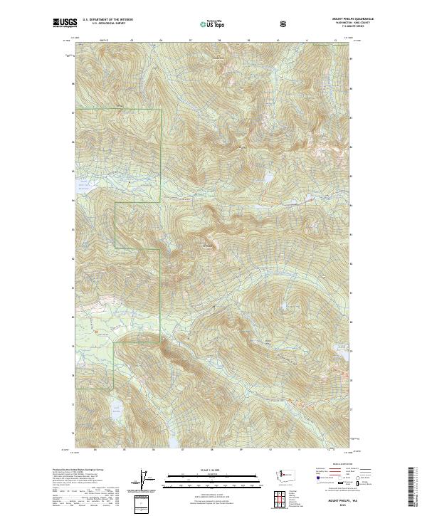
2023 Map of Mount Phelps
USGS Topo · Published 2023About this map
Mt Phelps and Bare Mountain dominate this central Cascades landscape, where the headwaters of several major river systems diverge. The high-altitude terrain is defined by a dense network of glacial basins and alpine waters, including Loch Katrine, Crater Lake, and the Paradise Lakes. This area serves as a critical watershed, feeding the South Fork Tolt Reservoir and the North Fork Snoqualmie River.
Find a feature on this map
51 named features on this map. Tap any name to fly to it.
Don’t see what you’re looking for? This feature index may not catch every label — zoom into the map to look around manually.
Map Details
Editions of this 2023 Mount Phelps Map
This is the sole edition of this map. No revisions or reprints were ever made.
Other maps of this area

1902 · Skykomish
USGS Topo · 1:125,000

1905 · Skykomish
USGS Topo · 1:125,000

1921 · Sultan
USGS Topo · 1:125,000

1923 · Sultan
USGS Topo · 1:125,000

1957 · Index
USGS Topo · 1:62,500

1957 · Wenatchee
USGS Topo · 1:250,000

1960 · Mount Si
USGS Topo · 1:62,500

1965 · Grotto
USGS Topo · 1:24,000
1965 · Baring
USGS Topo · 1:24,000
1965 · Snoqualmie Lake
USGS Topo · 1:24,000