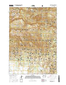
2017 Map of Mount Pisgah
USGS Topo · Published 2017About this map
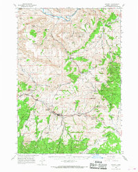
Ochoco National Forest dominates this high-elevation landscape in Central Oregon, where the crest of the Ochoco Mountains meets the expansive drainage of Big Summit Prairie. The terrain is defined by prominent peaks like Mount Pisgah and North Point, which overlook a complex network of seasonal creeks and springs that have long sustained ranching and forest management in Crook County. Water management is a primary theme of the landscape, evidenced by numerous small-scale impoundments such as Maxwell Reservoir, Yellowjacket Reservoir, and Lone Reservoir.
Find a feature on this map
60 named features on this map. Tap any name to fly to it.
Don’t see what you’re looking for? This feature index may not catch every label — zoom into the map to look around manually.
Map Details
Editions of this 2017 Mount Pisgah Map
This is the sole edition of this map. No revisions or reprints were ever made.
Other maps of this area
1926 · Mitchell
USGS Topo · 1:125,000
1951 · Lookout Mtn
USGS Topo · 1:62,500

1955 · Bend
USGS Topo · 1:250,000

1957 · Bend
USGS Topo · 1:250,000
1958 · Bend
USGS Topo · 1:250,000
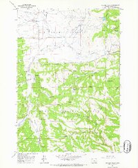
1965 · Williams Prairie
USGS Topo · 1:24,000
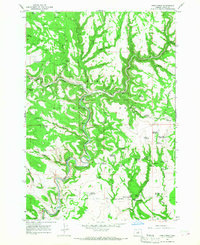
1966 · Keys Creek
USGS Topo · 1:24,000
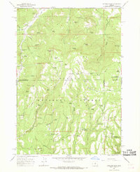
1966 · Peterson Point
USGS Topo · 1:24,000
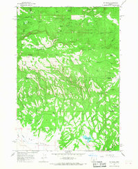
1966 · Mt. Pisgah
USGS Topo · 1:24,000
1966 · Mitchell
USGS Topo · 1:62,500