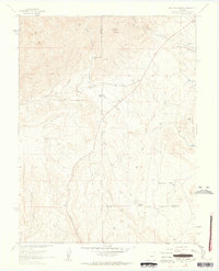
1961 Map of Mount Pittsburg
USGS Topo · Published 1963About this map
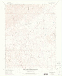
Mount Pittsburg stands as the high point of this high-altitude landscape on the boundary of Fremont and El Paso counties during the early 1960s. The map captures a ranching-heavy geography where named holdings like Foote Mountaindale Ranch and Pinehurst Ranch are interspersed between steep canyons and gulches. Evidence of industrial activity is sparse but present in the form of several Quarries and a solitary Quarry located near the West Fork of Red Creek. The presence of a private Landing Strip near the Turkey Creek Ranch in the northeast corner suggests the logistical challenges of managing such expansive mountain terrain. Significant topographical features include the broad plateau of Table Mountain and the distinct peaks of Wild Mountain and Timber Mountain, while Sullivan Park provides a break in the drainage patterns of the East Fork.
Find a feature on this map
29 named features on this map. Tap any name to fly to it.
Don’t see what you’re looking for? This feature index may not catch every label — zoom into the map to look around manually.
Map Details
Editions of this 1961 Mount Pittsburg Map
8 editions found
Other maps of this area

1889 · Canon City
USGS Topo · 1:125,000

1891 · Pueblo
USGS Topo · 1:125,000

1892 · Canon City
USGS Topo · 1:125,000

1893 · Colorado Springs
USGS Topo · 1:125,000

1894 · Pikes Peak
USGS Topo · 1:125,000

1894 · Pueblo
USGS Topo · 1:125,000

1896 · Pueblo
USGS Topo · 1:125,000

1897 · Pueblo
USGS Topo · 1:125,000

1901 · Pikes Peak
USGS Topo · 1:125,000

1909 · Colorado Springs
USGS Topo · 1:125,000