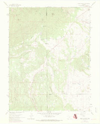
1961 Map of Mount Pittsburg
USGS Topo · Published 1970About this map
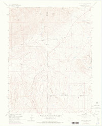
Mount Pittsburg and the surrounding high country of the Front Range are defined here by a series of working ranchlands and deep canyons during the late 1960s. The landscape is marked by several established agricultural operations, including Fords Mountaindale Ranch and Pinehurst Ranch, which utilize the drainage basins of Red Creek and the West Fork of Wild Mountain Creek. This era of the landscape shows a mix of traditional ranching and modern utility, evidenced by the small Landing Strip near Turkey Creek Ranch in the northeast corner.
Find a feature on this map
26 named features on this map. Tap any name to fly to it.
Don’t see what you’re looking for? This feature index may not catch every label — zoom into the map to look around manually.
Map Details
Editions of this 1961 Mount Pittsburg Map
8 editions found
Other maps of this area

1889 · Canon City
USGS Topo · 1:125,000

1891 · Pueblo
USGS Topo · 1:125,000

1892 · Canon City
USGS Topo · 1:125,000

1893 · Colorado Springs
USGS Topo · 1:125,000

1894 · Pikes Peak
USGS Topo · 1:125,000

1894 · Pueblo
USGS Topo · 1:125,000

1896 · Pueblo
USGS Topo · 1:125,000

1897 · Pueblo
USGS Topo · 1:125,000

1901 · Pikes Peak
USGS Topo · 1:125,000

1909 · Colorado Springs
USGS Topo · 1:125,000