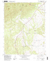
1961 Map of Mount Pittsburg
USGS Topo · Published 1994About this map
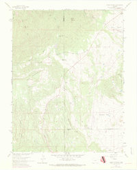
Mount Pittsburg stands as a prominent high point in this landscape where the boundaries of Fremont, El Paso, and Pueblo counties converge. Much of the eastern portion of the map is occupied by the Fort Carson Military Reservation, a site that dominates the geography between Timber Mountain and the steep terrain of Wild Mountain. The presence of the Red Devil Landing Strip and various training grounds indicates the mid-century expansion of military facilities into these upland areas.
Find a feature on this map
25 named features on this map. Tap any name to fly to it.
Don’t see what you’re looking for? This feature index may not catch every label — zoom into the map to look around manually.
Map Details
Editions of this 1961 Mount Pittsburg Map
8 editions found
Other maps of this area

1889 · Canon City
USGS Topo · 1:125,000

1891 · Pueblo
USGS Topo · 1:125,000

1892 · Canon City
USGS Topo · 1:125,000

1893 · Colorado Springs
USGS Topo · 1:125,000

1894 · Pikes Peak
USGS Topo · 1:125,000

1894 · Pueblo
USGS Topo · 1:125,000

1896 · Pueblo
USGS Topo · 1:125,000

1897 · Pueblo
USGS Topo · 1:125,000

1901 · Pikes Peak
USGS Topo · 1:125,000

1909 · Colorado Springs
USGS Topo · 1:125,000