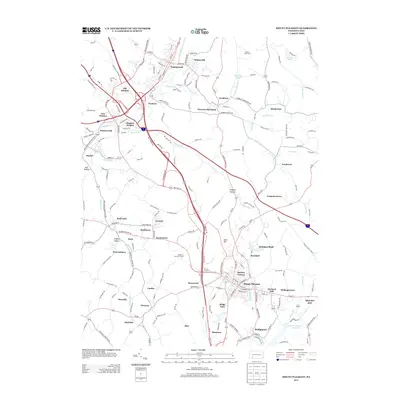
2013 Map of Mount Pleasant
USGS Topo · Published 2013About this map
Mount Pleasant serves as the focal point of this Westmoreland County landscape, surrounded by a dense network of suburban developments and historical mining sites. Industrial legacies are visible through features like the Standard Shaft and the neighboring community of Standard, reflecting the region's deep ties to coal extraction. The terrain is defined by a series of hollows and runs, including Leighty Hollow and Simpson Hollow, which guide the flow of Buffalo Run and Sherrick Run.
Find a feature on this map
56 named features on this map. Tap any name to fly to it.
Don’t see what you’re looking for? This feature index may not catch every label — zoom into the map to look around manually.
Map Details
Editions of this 2013 Mount Pleasant Map
This is the sole edition of this map. No revisions or reprints were ever made.
Other maps of this area

1900 · Latrobe
USGS Topo · 1:62,500

1902 · Latrobe
USGS Topo · 1:62,500

1902 · Connellsville
USGS Topo · 1:62,500

1903 · Latrobe
USGS Topo · 1:62,500

1904 · Greensburg
USGS Topo · 1:62,500

1906 · Greensburg
USGS Topo · 1:62,500

1922 · Donegal
USGS Topo · 1:62,500

1931 · Connellsville
USGS Topo · 1:62,500

1935 · Donegal
USGS Topo · 1:62,500

1936 · Connellsville
USGS Topo · 1:62,500