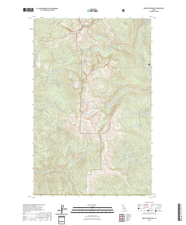
2024 Map of Mount Roothaan
USGS Topo · Published 2024About this map
Mt Roothaan and the distinctive spire of Chimney Rock dominate the high-altitude terrain of the Selkirk Mountains in this modern survey of Boundary County. Located within the Kaniksu National Forest, the landscape is defined by a network of drainage basins and glacial cirques containing alpine waters like Hunt Lake, Fault Lake, and McCormick Lake. The drainage patterns show Soldier Creek flowing westward while the West Branch Pack River and Pack River carve paths toward the east.
Find a feature on this map
37 named features on this map. Tap any name to fly to it.
Don’t see what you’re looking for? This feature index may not catch every label — zoom into the map to look around manually.
Map Details
Editions of this 2024 Mount Roothaan Map
This is the sole edition of this map. No revisions or reprints were ever made.
Other maps of this area

1901 · Sandpoint
USGS Topo · 1:125,000

1911 · Priest Lake
USGS Topo · 1:250,000

1911 · Sandpoint
USGS Topo · 1:125,000

1913 · Priest Lake
USGS Topo · 1:250,000

1958 · Sandpoint
USGS Topo · 1:250,000

1963 · Sandpoint
USGS Topo · 1:250,000

1967 · Priest Lake SE
USGS Topo · 1:24,000

1967 · Coolin
USGS Topo · 1:24,000

1967 · Priest Lake NE
USGS Topo · 1:24,000

1967 · The Wigwams
USGS Topo · 1:24,000