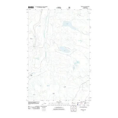
2011 Map of Mount Si
USGS Topo · Published 2011About this map
The North Fork Snoqualmie River carves through this King County landscape, which is defined by its numerous high-elevation water bodies and prominent summits. Ernies Grove stands as a primary point of settlement in the southwest, situated near the river's edge. The terrain rises sharply toward Mount Si and Mount Tenerife, creating a series of natural basins that hold remote waters like Lake Hancock, Calligan Lake, and the smaller Fury Lake.
Find a feature on this map
31 named features on this map. Tap any name to fly to it.
Don’t see what you’re looking for? This feature index may not catch every label — zoom into the map to look around manually.
Map Details
Editions of this 2011 Mount Si Map
This is the sole edition of this map. No revisions or reprints were ever made.
Other maps of this area

1913 · Cedar Lake
USGS Topo · 1:125,000

1921 · Sultan
USGS Topo · 1:125,000

1923 · Sultan
USGS Topo · 1:125,000

1953 · Snoqualmie
USGS Topo · 1:24,000

1953 · North Bend
USGS Topo · 1:24,000

1953 · Lake Joy
USGS Topo · 1:24,000

1957 · Wenatchee
USGS Topo · 1:250,000

1960 · Mount Si
USGS Topo · 1:62,500

1960 · Bandera
USGS Topo · 1:62,500

1975 · Snoqualmie Pass
USGS Topo · 1:100,000