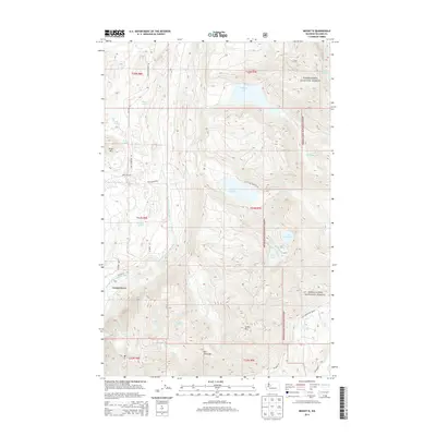
2014 Map of Mount Si
USGS Topo · Published 2014About this map
Ernies Grove sits at the edge of a dense network of mountain peaks and alpine lakes within the Snoqualmie National Forest. The geography is defined by the steep elevation gains toward summits like Mt Si and Mt Teneriffe, which overlook the winding course of the North Fork Snoqualmie River. This area serves as a significant drainage basin for numerous high-altitude water bodies, including Lake Hancock, Calligan Lake, and Lake Philippa, each feeding into creeks that cut through the steep topography. An extensive network of forest roads, such as Tolt Reservoir Rd and SE N Lake Hancock Rd, provides the primary access into these timberlands. The map reveals the relationship between the valley settlement and the protected wilderness, showcasing how water systems like Hancock Cr and Calligan Cr descend from the upland lakes toward the river valley below.
Find a feature on this map
41 named features on this map. Tap any name to fly to it.
Don’t see what you’re looking for? This feature index may not catch every label — zoom into the map to look around manually.
Map Details
Editions of this 2014 Mount Si Map
This is the sole edition of this map. No revisions or reprints were ever made.
Other maps of this area
1913 · Cedar Lake
USGS Topo · 1:125,000
1921 · Sultan
USGS Topo · 1:125,000
1923 · Sultan
USGS Topo · 1:125,000
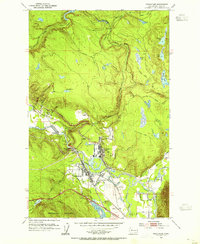
1953 · Snoqualmie
USGS Topo · 1:24,000
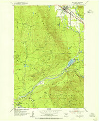
1953 · North Bend
USGS Topo · 1:24,000
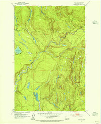
1953 · Lake Joy
USGS Topo · 1:24,000
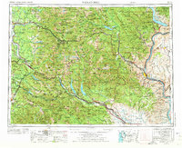
1957 · Wenatchee
USGS Topo · 1:250,000
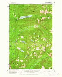
1960 · Mount Si
USGS Topo · 1:62,500
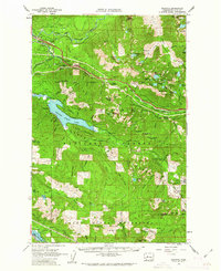
1960 · Bandera
USGS Topo · 1:62,500
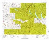
1975 · Snoqualmie Pass
USGS Topo · 1:100,000