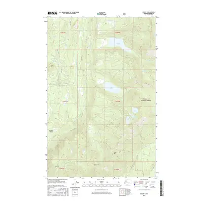
2017 Map of Mount Si
USGS Topo · Published 2017About this map
Ernies Grove sits at the edge of a high-elevation wilderness dominated by the dramatic peaks of the Cascade Range. This landscape is defined by massive topographical features like Mt Si and Mt Teneriffe in the south, which overlook a complex network of glacial lakes and mountain streams. The North Fork Snoqualmie River carves through the western portion of the map, fed by numerous tributaries such as Calligan Cr and Hancock Cr.
Find a feature on this map
42 named features on this map. Tap any name to fly to it.
Don’t see what you’re looking for? This feature index may not catch every label — zoom into the map to look around manually.
Map Details
Editions of this 2017 Mount Si Map
This is the sole edition of this map. No revisions or reprints were ever made.
Other maps of this area
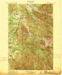
1913 · Cedar Lake
USGS Topo · 1:125,000
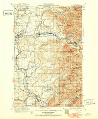
1921 · Sultan
USGS Topo · 1:125,000
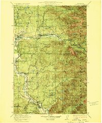
1923 · Sultan
USGS Topo · 1:125,000
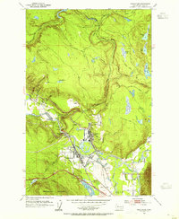
1953 · Snoqualmie
USGS Topo · 1:24,000
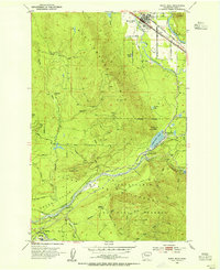
1953 · North Bend
USGS Topo · 1:24,000
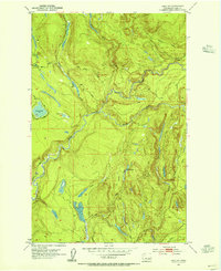
1953 · Lake Joy
USGS Topo · 1:24,000
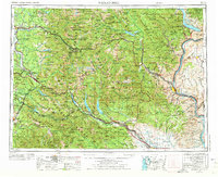
1957 · Wenatchee
USGS Topo · 1:250,000
1960 · Mount Si
USGS Topo · 1:62,500
1960 · Bandera
USGS Topo · 1:62,500
1975 · Snoqualmie Pass
USGS Topo · 1:100,000