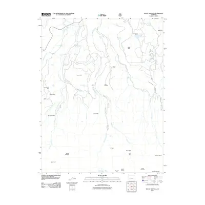
2011 Map of Mount Sneffels
USGS Topo · Published 2011About this map
Mount Sneffels and Teakettle Mountain anchor the southern reaches of this high-altitude landscape, where the jagged peaks of the San Juan Mountains give way to intricate water systems. The map documents a complex network of resource management and industrial history, from the high Blue Lakes and Lake Otonowanda to irrigation infrastructure like the Ridgway Town Ditch and Canyon Ditch.
Find a feature on this map
54 named features on this map. Tap any name to fly to it.
Don’t see what you’re looking for? This feature index may not catch every label — zoom into the map to look around manually.
Map Details
Editions of this 2011 Mount Sneffels Map
This is the sole edition of this map. No revisions or reprints were ever made.
Other maps of this area

1897 · Telluride
USGS Topo · 1:62,500

1897 · Silverton
USGS Topo · 1:62,500

1901 · Silverton
USGS Topo · 1:62,500

1902 · Silverton
USGS Topo · 1:62,500

1902 · Ouray
USGS Topo · 1:62,500

1904 · Ouray
USGS Topo · 1:62,500

1904 · Telluride
USGS Topo · 1:62,500

1909 · Montrose
USGS Topo · 1:125,000

1911 · Montrose
USGS Topo · 1:125,000

1945 · Durango
USGS Topo · 1:250,000