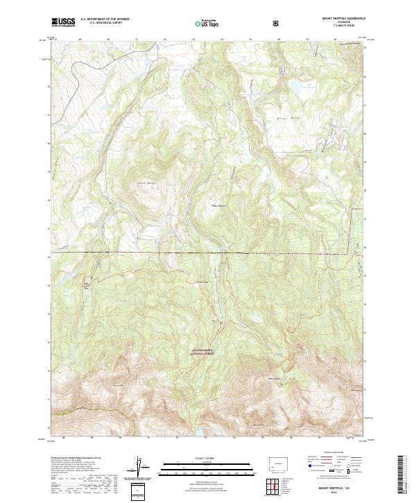
2022 Map of Mount Sneffels
USGS Topo · Published 2022About this map
The high San Juan Mountains dominate this 2022 survey, specifically the towering crest of Mt Sneffels and the surrounding alpine terrain of the Uncompahgre National Forest. From the rugged heights of Mears Peak and Wolcott Mtn, the landscape descends sharply into glacial carved features like Blaine Basin and Coccan Flats. This modern sheet provides a precise look at the backcountry infrastructure, including the remote Blue Lakes Trl and the Dallas Trl, which connect the high peaks to the lower mesas.
Find a feature on this map
64 named features on this map. Tap any name to fly to it.
Don’t see what you’re looking for? This feature index may not catch every label — zoom into the map to look around manually.
Map Details
Editions of this 2022 Mount Sneffels Map
This is the sole edition of this map. No revisions or reprints were ever made.
Other maps of this area

1897 · Telluride
USGS Topo · 1:62,500

1897 · Silverton
USGS Topo · 1:62,500

1901 · Silverton
USGS Topo · 1:62,500

1902 · Silverton
USGS Topo · 1:62,500

1902 · Ouray
USGS Topo · 1:62,500

1904 · Ouray
USGS Topo · 1:62,500

1904 · Telluride
USGS Topo · 1:62,500

1909 · Montrose
USGS Topo · 1:125,000

1911 · Montrose
USGS Topo · 1:125,000

1945 · Durango
USGS Topo · 1:250,000