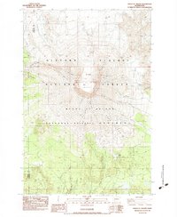
1983 Map of Mount St. Helens
USGS Topo · Published 1984About this map
1980 Crater and its central Lava Dome dominate this topographic study, produced just years after the cataclysmic eruption. The landscape is defined by the massive collapse of the northern flank, labeled here as The Breach, which opened the path for the South Fork Toutle River. Surrounding the summit, several remnant ice masses including the Forsyth Glacier, Nelson Glacier, and Shoestring Glacier are mapped alongside the newer volcanic features.
Find a feature on this map
29 named features on this map. Tap any name to fly to it.
Don’t see what you’re looking for? This feature index may not catch every label — zoom into the map to look around manually.
Map Details
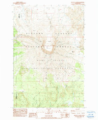
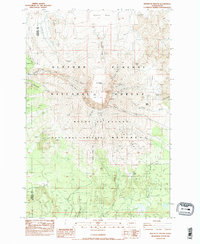
Editions of this 1983 Mount St. Helens Map
3 editions found
Other maps of this area

1919 · Mount St Helens
USGS Topo · 1:125,000

1953 · Hoquiam
USGS Topo · 1:250,000

1953 · Cougar
USGS Topo · 1:62,500

1953 · Elk Rock
USGS Topo · 1:62,500

1957 · Hoquiam
USGS Topo · 1:250,000

1957 · Spirit Lake
USGS Topo · 1:62,500

1958 · Mt St. Helens
USGS Topo · 1:62,500

1958 · Hoquiam
USGS Topo · 1:250,000

1962 · Hoquiam
USGS Topo · 1:250,000
1975 · Mt. St. Helens NE
USGS Topo · 1:24,000