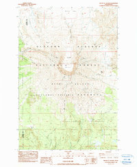
1983 Map of Mount St. Helens
USGS Topo · Published 1987About this map
The massive 1980 Crater and its central Lava Dome dominate this 1983 provisional survey, which documents the radically altered landscape of Mount St Helens just three years after its cataclysmic eruption. The terrain reflects the immediate aftermath of the blast, showing the wide Breach opening toward the north and the extensive Pumice Plain. To the northwest, areas of Blowdown signify the power of the lateral pressure wave that leveled forests within the Gifford Pinchot National Forest.
Find a feature on this map
41 named features on this map. Tap any name to fly to it.
Don’t see what you’re looking for? This feature index may not catch every label — zoom into the map to look around manually.
Map Details
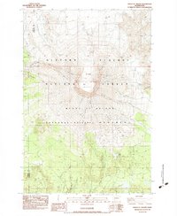
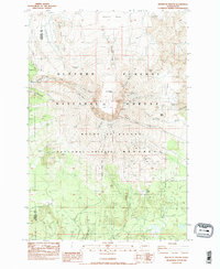
Editions of this 1983 Mount St. Helens Map
3 editions found
Other maps of this area

1919 · Mount St Helens
USGS Topo · 1:125,000

1953 · Hoquiam
USGS Topo · 1:250,000

1953 · Cougar
USGS Topo · 1:62,500

1953 · Elk Rock
USGS Topo · 1:62,500

1957 · Hoquiam
USGS Topo · 1:250,000

1957 · Spirit Lake
USGS Topo · 1:62,500

1958 · Mt St. Helens
USGS Topo · 1:62,500

1958 · Hoquiam
USGS Topo · 1:250,000

1962 · Hoquiam
USGS Topo · 1:250,000

1975 · Mt. St. Helens NE
USGS Topo · 1:24,000