
1902 Map of Mount Stuart
USGS Topo · Published 1908About this map
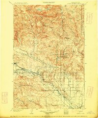
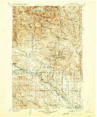
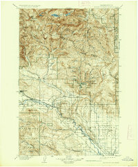
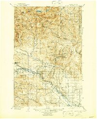
Ellensburg and the surrounding Kittitas Valley appear here during a period of significant industrial and agricultural expansion at the turn of the century. The Northern Pacific R. R. follows the course of the Kittitas River, serving as the primary transportation artery for small rail stops like Thorp, Dudley, and Bristol. To the northwest, the coal mining influence is evident with the Northern Pacific R. R. Roslyn Branch connecting the mountain town of Roslyn to the main line at Clealum.
Find a feature on this map
66 named features on this map. Tap any name to fly to it.
Don’t see what you’re looking for? This feature index may not catch every label — zoom into the map to look around manually.
Map Details
Editions of this 1902 Mount Stuart Map
5 editions found
Other maps of this area

1897 · Mount Stuart
USGS Topo · 1:125,000

1899 · Ellensburg
USGS Topo · 1:125,000

1901 · Chelan
USGS Topo · 1:125,000

1901 · Ellensburg
USGS Topo · 1:125,000

1901 · Chiwaukum
USGS Topo · 1:125,000

1901 · Snoqualmie Pass
USGS Topo · 1:125,000

1902 · Mount Aix
USGS Topo · 1:125,000

1902 · Skykomish
USGS Topo · 1:125,000

1903 · Snoqualmie
USGS Topo · 1:125,000

1904 · Mt Aix
USGS Topo · 1:125,000