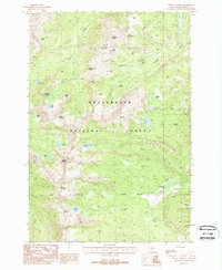
1988 Map of Mount Tahepia
USGS Topo · Published 1988About this map
High-altitude extraction and rugged hydrology define this segment of the Beaverhead National Forest during the late 1980s. The map reveals a cluster of industrial activity centered around the Hecla Mines and Sheriff Mountain, where numerous prospects and named shafts like the Keokirk Mine and Franklin Mine suggest a landscape deeply shaped by mining history. The steep terrain is punctuated by a series of alpine water bodies, including the isolated Tahepia Lake and Waukena Lake, which feed into complex drainage systems like Lion Canyon Creek and Long Branch Creek. This survey captures the wilderness character of the Pioneer Mountains near the summit of Mount Tahepia, documenting the remote trail networks and high-elevation peaks such as Mount Alverson and Granite Mountain that dominate the western Montana interior.
Find a feature on this map
37 named features on this map. Tap any name to fly to it.
Don’t see what you’re looking for? This feature index may not catch every label — zoom into the map to look around manually.
Map Details
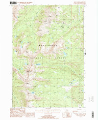
Editions of this 1988 Mount Tahepia Map
2 editions found
Other maps of this area

1893 · Dillon
USGS Topo · 1:250,000

1952 · Twin Adams Mountain
USGS Topo · 1:24,000

1952 · Torrey Mountain
USGS Topo · 1:24,000

1955 · Dillon
USGS Topo · 1:250,000

1957 · Dillon
USGS Topo · 1:250,000

1958 · Dillon
USGS Topo · 1:250,000

1958 · Vipond Park
USGS Topo · 1:62,500

1959 · Polaris
USGS Topo · 1:62,500

1962 · Dillon
USGS Topo · 1:250,000

1965 · Dillon
USGS Topo · 1:250,000