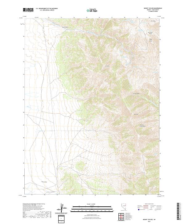
2021 Map of Mount Taylor
USGS Topo · Published 2021About this map
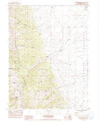
Mt Taylor and the Cherry Creek Range dominate this high-desert landscape in northeastern Nevada. The terrain is defined by a series of steep drainages, including Taylor Canyon, East Taylor Canyon, and Mountain Lion Canyon, which fall away from central heights like High Peak. Water sources are vital markers in this arid environment, represented by a numbered sequence of springs such as Taylor Spring Number One and Taylor Spring Number Five. To the west, the topography levels out into the expanse of Butte Valley. The inclusion of Maine Camp Spring suggests a history of seasonal or resource-based encampments, while features like Corral Canyon point to the area's utility for livestock management in the Great Basin.
Find a feature on this map
28 named features on this map. Tap any name to fly to it.
Don’t see what you’re looking for? This feature index may not catch every label — zoom into the map to look around manually.
Map Details
Editions of this 2021 Mount Taylor Map
This is the sole edition of this map. No revisions or reprints were ever made.
Other maps of this area

1955 · Elko
USGS Topo · 1:250,000

1958 · Elko
USGS Topo · 1:250,000

1962 · Elko
USGS Topo · 1:250,000

1965 · Elko
USGS Topo · 1:250,000

1984 · Currie Gardens
USGS Topo · 1:24,000
1984 · Paris Creek
USGS Topo · 1:24,000
1984 · Mt. Taylor
USGS Topo · 1:24,000
1984 · High Bald Peaks SE
USGS Topo · 1:24,000

1984 · Silo Canyon
USGS Topo · 1:24,000
1984 · McDermid Ranch
USGS Topo · 1:24,000