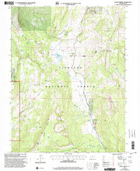
2001 Map of Mount Terrill
USGS Topo · Published 2003About this map
Fishlake National Forest encompasses this high-altitude landscape, where the peaks of Mount Terrill and Mount Marvine anchor the eastern ridges. The area is defined by its complex hydrology, featuring numerous alpine water sources such as the Broadhead Lakes, Lake Louise, and the Lost Creek Reservoir. A network of forest management and recreation paths, including a designated Snowmobile Trail and the steep Cedars Dugway, navigate the terrain between landmarks like Boobe Hole Mountain and Butterfield Meadow. The map also documents the transition from the Highton Plateau down through the Sevenmile Cirques, illustrating the drainage patterns of Sevenmile Creek and Tasha Creek as they flow through the Richfield LOA.
Find a feature on this map
40 named features on this map. Tap any name to fly to it.
Don’t see what you’re looking for? This feature index may not catch every label — zoom into the map to look around manually.
Map Details
Editions of this 2001 Mount Terrill Map
This is the sole edition of this map. No revisions or reprints were ever made.
Other maps of this area

1885 · Fish Lake
USGS Topo · 1:250,000

1896 · Fish Lake
USGS Topo · 1:250,000

1956 · Salina
USGS Topo · 1:250,000

1960 · Salina
USGS Topo · 1:250,000

1962 · Salina
USGS Topo · 1:250,000
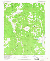
1966 · Rex Reservoir
USGS Topo · 1:24,000

1966 · Yogo Creek
USGS Topo · 1:24,000
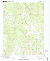
1966 · Gooseberry Creek
USGS Topo · 1:24,000

1968 · Fish Lake
USGS Topo · 1:24,000
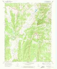
1968 · Hilgard Mtn
USGS Topo · 1:24,000