
2015 Map of Mount Thompson
USGS Topo · Published 2015About this map
The Lander Trail cuts a historic path through this high-elevation landscape within the Bridger National Forest, marking a critical corridor for westward expansion in the nineteenth century. Anchored by the prominent Mt Thompson and Thompson Pass, the terrain is defined by a series of significant uplifted features including Witherspoon Ridge, Absaroka Ridge, and Packsaddle Ridge. These heights separate deep drainages such as Snyder Basin and the Meridonal Valley.
Find a feature on this map
38 named features on this map. Tap any name to fly to it.
Don’t see what you’re looking for? This feature index may not catch every label — zoom into the map to look around manually.
Map Details
Editions of this 2015 Mount Thompson Map
This is the sole edition of this map. No revisions or reprints were ever made.
Other maps of this area
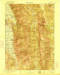
1921 · Afton
USGS Topo · 1:125,000
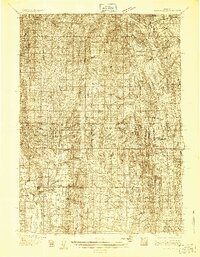
1936 · Cokeville
USGS Topo · 1:96,000
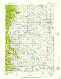
1939 · Big Piney
USGS Topo · 1:125,000
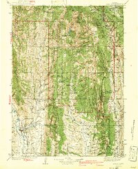
1942 · Cokeville
USGS Topo · 1:125,000
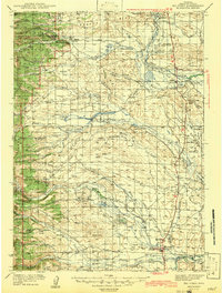
1942 · Big Piney
USGS Topo · 1:125,000

1955 · Preston
USGS Topo · 1:250,000

1958 · Preston
USGS Topo · 1:250,000

1962 · Preston
USGS Topo · 1:250,000
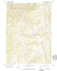
1967 · Devils Hole Creek
USGS Topo · 1:24,000
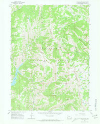
1967 · Graham Peak
USGS Topo · 1:24,000