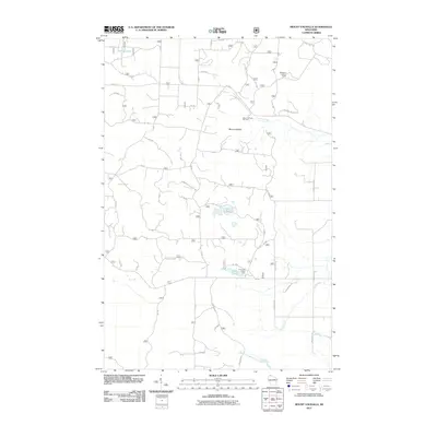
2011 Map of Mount Valhalla
USGS Topo · Published 2011About this map
Mount Valhalla rises as the central landmark of this Northwoods landscape, serving as a hub for both winter recreation and forest management. In the early 21st century, the Mount Valhalla Ski Area and the Washburn Lookout Tower to the northeast anchor the high ground above a network of forest roads and creek valleys. The topography is defined by glacial kettle lakes and drainages, including Crystal Lake in the northwest and the Twin Lakes at the center of the sheet. To the south, the Long Lake Picnic Area sits along the shores of Long Lake, where the headwaters of the Sioux River and North Fork Whittlesey Creek begin their descent toward Lake Superior. The map details an intricate system of timber and access routes such as Brinks Rd and Co Hwy C, reflecting the region's ongoing utility for recreation and forestry.
Find a feature on this map
21 named features on this map. Tap any name to fly to it.
Don’t see what you’re looking for? This feature index may not catch every label — zoom into the map to look around manually.
Map Details
Editions of this 2011 Mount Valhalla Map
This is the sole edition of this map. No revisions or reprints were ever made.
Other maps of this area

1941 · Bayfield
USGS Topo · 1:48,000

1942 · Ashland
USGS Topo · 1:48,000

1944 · Moquah
USGS Topo · 1:48,000

1944 · Cornucopia
USGS Topo · 1:48,000

1946 · Cornucopia
USGS Topo · 1:48,000

1946 · Bayfield
USGS Topo · 1:48,000

1947 · Moquah
USGS Topo · 1:48,000

1947 · Ashland
USGS Topo · 1:48,000

1953 · Ashland
USGS Topo · 1:250,000

1958 · Ashland
USGS Topo · 1:250,000