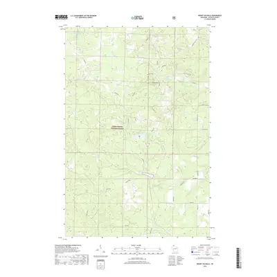
2018 Map of Mount Valhalla
USGS Topo · Published 2018About this map
Chequamegon National Forest encompasses much of this Wisconsin landscape, where the high point at Mt Valhalla overlooks a network of timber roads and glacial water bodies. The terrain is defined by its drainages, including the Sioux River in the southeast and the headwaters of N Fork Whittlesey Cr and Bouds Cr. To the north, Crystal Lake and Twin Lakes sit among a dense grid of Forest Service roads such as Friendly Valley Rd and Valkyrie A. While much of the area remains undeveloped forest land, the map records the specific routes of named paths like Smokeys Run and Freedom Valley Dr, illustrating the contemporary recreational and management access within this section of the Bayfield and Iron River boundary area.
Find a feature on this map
31 named features on this map. Tap any name to fly to it.
Don’t see what you’re looking for? This feature index may not catch every label — zoom into the map to look around manually.
Map Details
Editions of this 2018 Mount Valhalla Map
This is the sole edition of this map. No revisions or reprints were ever made.
Other maps of this area

1941 · Bayfield
USGS Topo · 1:48,000

1942 · Ashland
USGS Topo · 1:48,000

1944 · Moquah
USGS Topo · 1:48,000

1944 · Cornucopia
USGS Topo · 1:48,000

1946 · Cornucopia
USGS Topo · 1:48,000

1946 · Bayfield
USGS Topo · 1:48,000

1947 · Moquah
USGS Topo · 1:48,000

1947 · Ashland
USGS Topo · 1:48,000

1953 · Ashland
USGS Topo · 1:250,000

1958 · Ashland
USGS Topo · 1:250,000