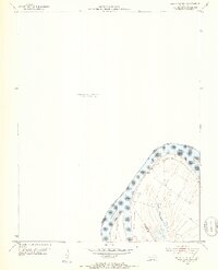
1952 Map of Mount Vernon
USGS Topo · Published 1953About this map
The Ohio River dominates the bottom corner of this mid-century survey, defining the border between Kentucky and Indiana. Near the bend in the river, several prominent landforms emerge from the water, including Slim Island and the Mt Vernon Towhead. This 1952 study by the U.S. Geological Survey and the Agricultural and Industrial Development Board captures a period before significant shoreline modifications changed the river's character. Inland from the main channel, low-lying features like Grassy Pond suggest the complex drainage and flood patterns of the floodplain. A lone Ferry is noted crossing the river, indicating the continued reliance on river-based transport for local connectivity at the start of the 1950s.
Find a feature on this map
10 named features on this map. Tap any name to fly to it.
Don’t see what you’re looking for? This feature index may not catch every label — zoom into the map to look around manually.
Map Details
Editions of this 1952 Mount Vernon Map
2 editions found
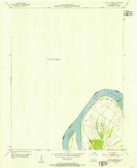
Other maps of this area

1903 · New Harmony
USGS Topo · 1:62,500

1903 · Patoka
USGS Topo · 1:125,000

1905 · New Haven
USGS Topo · 1:62,500

1906 · New Haven
USGS Topo · 1:62,500

1917 · Uniontown
USGS Topo · 1:62,500

1938 · New Harmony
USGS Topo · 1:62,500

1940 · Carmi
USGS Topo · 1:62,500

1943 · Carmi
USGS Topo · 1:62,500

1949 · Paducah
USGS Topo · 1:250,000

1949 · New Haven
USGS Topo · 1:62,500