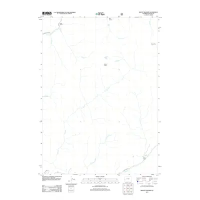
2012 Map of Mount Wagner
USGS Topo · Published 2012About this map
Mount Wagner dominates this corner of Lincoln County, where the high-altitude drainage systems of the Salt River and Smiths Fork define the mountain geography. The map reveals a landscape shaped by hydrology and elevation, from the heights of Sheep Pass down to the secluded basin of Poker Hollow. Water is the primary architect here, with Wagner Lake and Slide Lake caught in the high folds of the terrain, while numerous tributaries like Wagner Cr and Cottonwood Cr carve deep paths such as Slide Canyon. Human presence is minimal, marked primarily by the peripheral access provided by Cottonwood Creek Rd and Smiths Fork Rd, indicating a region valued for its natural resources and watershed rather than concentrated settlement. This survey provides a clear view of the complex stream networks including the N Fork Smiths Fork as they appeared in the early 21st century.
Find a feature on this map
18 named features on this map. Tap any name to fly to it.
Don’t see what you’re looking for? This feature index may not catch every label — zoom into the map to look around manually.
Map Details
Editions of this 2012 Mount Wagner Map
This is the sole edition of this map. No revisions or reprints were ever made.
Other maps of this area
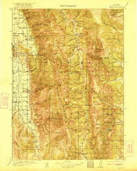
1921 · Afton
USGS Topo · 1:125,000
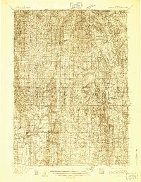
1936 · Cokeville
USGS Topo · 1:96,000
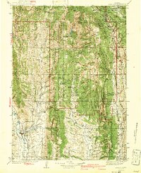
1942 · Cokeville
USGS Topo · 1:125,000

1955 · Preston
USGS Topo · 1:250,000

1958 · Preston
USGS Topo · 1:250,000

1962 · Preston
USGS Topo · 1:250,000
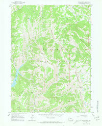
1967 · Graham Peak
USGS Topo · 1:24,000
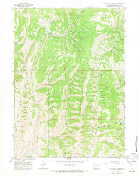
1967 · Porcupine Creek
USGS Topo · 1:24,000
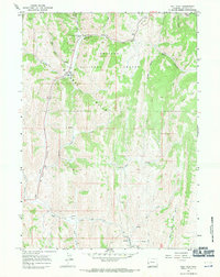
1967 · Salt Flat
USGS Topo · 1:24,000
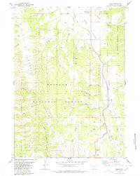
1980 · Smoot
USGS Topo · 1:24,000