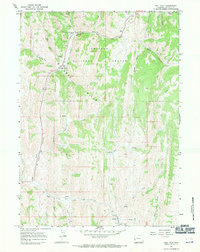
1967 Map of Salt Flat
USGS Topo · Published 1971About this map
The Emigrant Trail Lander Cutoff winds through the northeast corner of this 1967 survey, marking a significant historical path for westward travelers through the Bridger National Forest. The landscape is dominated by the dramatic topography of the Gannett Hills, where a complex network of canyons and creeks defines the terrain. In the northern reaches, Salt Creek and its associated salt springs provide a vital hydrological focal point near Allred Flat. This area served as a practical waypoint for travelers and forest users, featuring a Campground and multiple pack trails, such as the Packstring Pack Trail, that branch into the higher elevations. To the south, evidence of early resource exploration appears as Prospects near the headwaters of Little Muddy Cr, indicating the search for minerals along the drainage divides between Huff Creek and the Stoner Fork.
Find a feature on this map
30 named features on this map. Tap any name to fly to it.
Don’t see what you’re looking for? This feature index may not catch every label — zoom into the map to look around manually.
Map Details
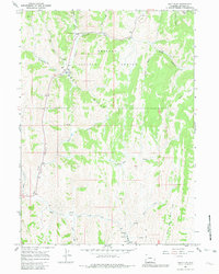
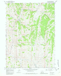
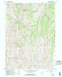
Editions of this 1967 Salt Flat Map
4 editions found
Other maps of this area

1909 · Montpelier
USGS Topo · 1:125,000

1911 · Montpelier
USGS Topo · 1:125,000

1915 · Crow Creek
USGS Topo · 1:62,500

1921 · Afton
USGS Topo · 1:125,000

1936 · Cokeville
USGS Topo · 1:96,000

1942 · Cokeville
USGS Topo · 1:125,000

1955 · Preston
USGS Topo · 1:250,000

1958 · Preston
USGS Topo · 1:250,000

1962 · Preston
USGS Topo · 1:250,000

1967 · Big Park
USGS Topo · 1:24,000