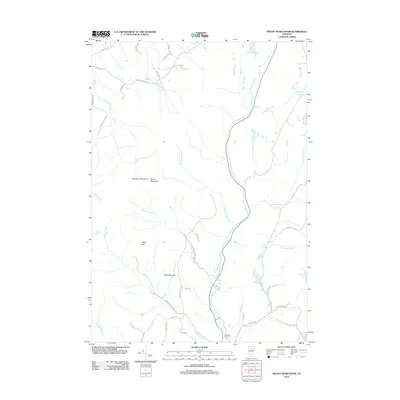
2012 Map of Mount Worcester
USGS Topo · Published 2012About this map
Worcester Mountains dominate this central Vermont landscape, where the summit of Mount Worcester overlooks a network of high-elevation water bodies and drainage basins. The area is defined by its complex hydrology, featuring Little Elmore Pond in the north and the cluster of Worcester Ponds to the south. The N Br Winooski River carves a significant path through the terrain, fed by numerous tributaries such as Minister Brook and Hancock Brook. Human presence is marked by a winding network of rural routes, including Minister Brook Rd and Hampshire Hill Rd, which connect isolated homesteads and family-named ridges. Local history is anchored at the Mountain Cemetery near the junction of Calais Rd and Worcester Brook. Notable geographic landmarks like Moss Glen Falls and the elevated Hardwood Flats provide a detailed look at the wilderness and early settlement patterns of Lamoille and Washington counties.
Find a feature on this map
55 named features on this map. Tap any name to fly to it.
Don’t see what you’re looking for? This feature index may not catch every label — zoom into the map to look around manually.
Map Details
Editions of this 2012 Mount Worcester Map
This is the sole edition of this map. No revisions or reprints were ever made.
Other maps of this area

1919 · Montpelier
USGS Topo · 1:62,500

1921 · Montpelier
USGS Topo · 1:62,500

1927 · Hyde Park
USGS Topo · 1:48,000

1928 · Hardwick
USGS Topo · 1:62,500

1930 · Hyde Park
USGS Topo · 1:62,500

1934 · Hardwick
USGS Topo · 1:48,000

1938 · Hardwick
USGS Topo · 1:62,500

1939 · Plainfield
USGS Topo · 1:48,000

1940 · Plainfield
USGS Topo · 1:62,500

1943 · Plainfield
USGS Topo · 1:62,500