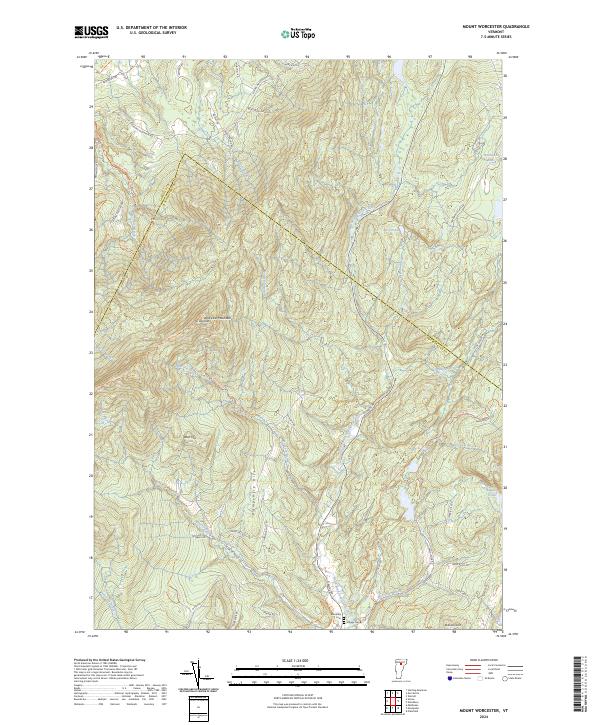
2024 Map of Mount Worcester
USGS Topo · Published 2024About this map
The Worcester Mountains dominate this central Vermont landscape, characterized by the high peaks of Mt Worcester and the broad reach of Worcester Ridge. The terrain is defined by a dense network of watercourses, including Gold Brook and Hancock Brook, which feed into the North Branch Winooski River. This area represents a classic New England upland environment where early settlement patterns are visible in the family-named landmarks like Hampshire Hill and Robinson Hill, alongside high-elevation clearings like Hardwood Flats.
Find a feature on this map
56 named features on this map. Tap any name to fly to it.
Don’t see what you’re looking for? This feature index may not catch every label — zoom into the map to look around manually.
Map Details
Editions of this 2024 Mount Worcester Map
This is the sole edition of this map. No revisions or reprints were ever made.
Other maps of this area

1919 · Montpelier
USGS Topo · 1:62,500

1921 · Montpelier
USGS Topo · 1:62,500

1927 · Hyde Park
USGS Topo · 1:48,000

1928 · Hardwick
USGS Topo · 1:62,500

1930 · Hyde Park
USGS Topo · 1:62,500

1934 · Hardwick
USGS Topo · 1:48,000

1938 · Hardwick
USGS Topo · 1:62,500

1939 · Plainfield
USGS Topo · 1:48,000

1940 · Plainfield
USGS Topo · 1:62,500

1943 · Plainfield
USGS Topo · 1:62,500