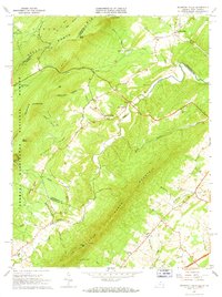
1965 Map of Mountain Falls
USGS Topo · Published 1968About this map
Great North Mountain and the surrounding ridges of the George Washington National Forest dominate this mid-1960s study of the Virginia-West Virginia borderlands. The landscape is defined by the steep, parallel orientations of Paddy Mountain and Little North Mountain, creating narrow valleys where small settlements like Star Tannery and Gravel Springs established themselves along watercourses such as Cedar Creek.
Find a feature on this map
60 named features on this map. Tap any name to fly to it.
Don’t see what you’re looking for? This feature index may not catch every label — zoom into the map to look around manually.
Map Details
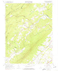
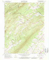
Editions of this 1965 Mountain Falls Map
3 editions found
Other maps of this area

1891 · Romney
USGS Topo · 1:125,000

1892 · Woodstock
USGS Topo · 1:125,000

1893 · Luray
USGS Topo · 1:125,000

1894 · Winchester
USGS Topo · 1:125,000

1905 · Luray
USGS Topo · 1:125,000

1922 · Wardensville
USGS Topo · 1:62,500

1923 · Middletown
USGS Topo · 1:62,500

1923 · Edinburg
USGS Topo · 1:62,500

1924 · Wardensville
USGS Topo · 1:62,500

1937 · Middletown
USGS Topo · 1:48,000