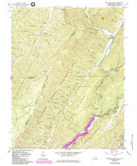
1961 Map of Mountain Grove
USGS Topo · Published 1984About this map
Mountain Grove and Mooretown anchor the eastern edge of this rugged landscape, where the Back Creek valley meets the steep slopes of Bolar Mountain. This 1961 survey, updated in the early 1980s, documents the appearance of Lake Moomaw and its impact on the Jackson River valley at the southern border of the quadrangle. The map captures a complex system of hollows and coves, many bearing family names like O'Farrell Hollow and John Landes Hollow, which reflect generations of mountain settlement.
Find a feature on this map
73 named features on this map. Tap any name to fly to it.
Don’t see what you’re looking for? This feature index may not catch every label — zoom into the map to look around manually.
Map Details
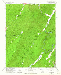
Editions of this 1961 Mountain Grove Map
2 editions found
Other maps of this area

1887 · Lewisburg
USGS Topo · 1:125,000

1891 · Lewisburg
USGS Topo · 1:125,000

1891 · Huntersville
USGS Topo · 1:125,000

1894 · Huntersville
USGS Topo · 1:125,000

1894 · Natural Bridge
USGS Topo · 1:125,000

1901 · Monterey
USGS Topo · 1:125,000

1921 · Callaghan
USGS Topo · 1:48,000

1923 · Marlinton
USGS Topo · 1:48,000

1923 · Warm Springs
USGS Topo · 1:48,000

1923 · Callaghan
USGS Topo · 1:62,500