
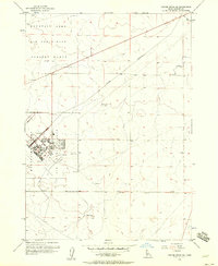
1956 Map of Mountain Home North
USGS Topo · Published 1957About this map
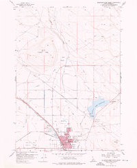
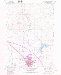
Mountain Home serves as the focal point of this 1950s survey, illustrating a community defined by its transport and water infrastructure. The town layout is anchored by the Union Pacific Railroad and the historic path of the Old Oregon Trail Road, highlighting its role as a key stop in the Idaho desert. Infrastructure like the Interstate Airway Communications Station and the Mountain Home Municipal Airport underscores the importance of aviation during this era, while the Mountain Home Reservoir and a complex network including the Miller Canal and Feeder Canal reveal the intensive efforts to manage water for this arid landscape. Institutional landmarks such as the Court House, City Hall, and Elmore Memorial Hospital are clearly marked alongside residential growth near Carl Miller Park. Further north, the terrain rises toward Lockman Butte and the VABM Ridge, contrasting the developed valley floor with the open rangeland of Elmore County.
Find a feature on this map
37 named features on this map. Tap any name to fly to it.
Don’t see what you’re looking for? This feature index may not catch every label — zoom into the map to look around manually.
Map Details
Editions of this 1956 Mountain Home North Map
3 editions found
Other maps of this area

1892 · Mountain Home
USGS Topo · 1:125,000

1893 · Mountain Home
USGS Topo · 1:125,000

1955 · Hailey
USGS Topo · 1:250,000
1956 · Mountain Home South
USGS Topo · 1:24,000

1956 · Crater Rings
USGS Topo · 1:24,000
1956 · Reverse
USGS Topo · 1:24,000

1956 · Mountain Home
USGS Topo · 1:62,500
1956 · Crater Rings SE
USGS Topo · 1:24,000

1959 · Hailey
USGS Topo · 1:250,000

1960 · Mayfield
USGS Topo · 1:62,500