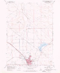
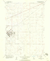
1956 Map of Mountain Home North
USGS Topo · Published 1976About this map
Mountain Home serves as the focal point of this mid-century survey, showcasing its development as a regional hub in Elmore County. The landscape is defined by the critical infrastructure of the high desert, from the vast waters of the Mountain Home Reservoir to the complex irrigation network of the Side Canal and Feeder Canal. This map preserves the intersection of the historic and modern west, where the Old Oregon Trail (Oregon Short Line) and Military Road cross paths with the Union Pacific Railroad.
Find a feature on this map
39 named features on this map. Tap any name to fly to it.
Don’t see what you’re looking for? This feature index may not catch every label — zoom into the map to look around manually.
Map Details
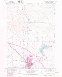
Editions of this 1956 Mountain Home North Map
3 editions found
Other maps of this area

1892 · Mountain Home
USGS Topo · 1:125,000

1893 · Mountain Home
USGS Topo · 1:125,000

1955 · Hailey
USGS Topo · 1:250,000
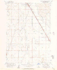
1956 · Mountain Home South
USGS Topo · 1:24,000

1956 · Crater Rings
USGS Topo · 1:24,000
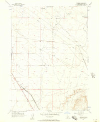
1956 · Reverse
USGS Topo · 1:24,000

1956 · Mountain Home North
USGS Topo · 1:24,000

1956 · Mountain Home
USGS Topo · 1:62,500
1956 · Crater Rings SE
USGS Topo · 1:24,000

1959 · Hailey
USGS Topo · 1:250,000