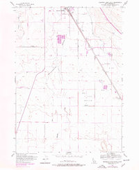
1956 Map of Mountain Home South
USGS Topo · Published 1978About this map
Mountain Home serves as the focal point of this 1950s landscape, illustrating the transition from historic frontier paths to modern infrastructure. The Old Mountain City-Mountain Home Freight Trail winds through the southwestern sections, providing a tangible link to the era of wagon freighting before the dominance of the Union Pacific railroad. Irrigation and water management are central to the region's development, evidenced by the West Side Canal and various reservoirs distributed across Clover Hollow and Slade Flat. Revisions from the late 1970s reveal the urban expansion of the town, including new residential areas like the Trailer Park and essential services such as the Sewage Disposal facility and a local Gravel Pit. The drainage of Rattlesnake Creek and the presence of a Landing Strip further characterize this high-desert settlement's logistical and agricultural foundations during the mid-to-late 20th century.
Find a feature on this map
13 named features on this map. Tap any name to fly to it.
Don’t see what you’re looking for? This feature index may not catch every label — zoom into the map to look around manually.
Map Details
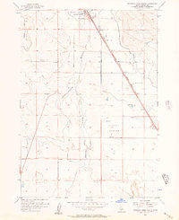
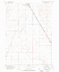
Editions of this 1956 Mountain Home South Map
3 editions found
Other maps of this area

1892 · Mountain Home
USGS Topo · 1:125,000

1893 · Mountain Home
USGS Topo · 1:125,000

1947 · Bruneau
USGS Topo · 1:62,500

1947 · Indian Cove
USGS Topo · 1:24,000

1947 · Sand Dunes
USGS Topo · 1:24,000

1947 · Bruneau
USGS Topo · 1:24,000

1948 · Sand Dunes
USGS Topo · 1:24,000

1948 · Indian Cove
USGS Topo · 1:24,000
1948 · Bruneau
USGS Topo · 1:24,000

1948 · Indian Cove
USGS Topo · 1:62,500