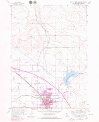
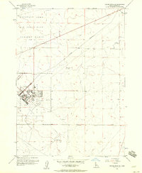
1956 Map of Mountain Home North
USGS Topo · Published 1979About this map
Mountain Home serves as the focal point of this Elmore County survey, appearing at a transitional moment of growth between the original 1956 fieldwork and 1978 photo revisions. The southern portion of the map is densely packed with civic infrastructure, including the Court House, City Hall, and the Po. Notable local landmarks of the era include the Elmore Memorial Hospital and a Drive-in Theater situated near the urban edge.
Find a feature on this map
36 named features on this map. Tap any name to fly to it.
Don’t see what you’re looking for? This feature index may not catch every label — zoom into the map to look around manually.
Map Details
Editions of this 1956 Mountain Home North Map
3 editions found
Other maps of this area

1892 · Mountain Home
USGS Topo · 1:125,000

1893 · Mountain Home
USGS Topo · 1:125,000

1955 · Hailey
USGS Topo · 1:250,000
1956 · Mountain Home South
USGS Topo · 1:24,000

1956 · Crater Rings
USGS Topo · 1:24,000
1956 · Reverse
USGS Topo · 1:24,000

1956 · Mountain Home North
USGS Topo · 1:24,000

1956 · Mountain Home
USGS Topo · 1:62,500
1956 · Crater Rings SE
USGS Topo · 1:24,000

1959 · Hailey
USGS Topo · 1:250,000