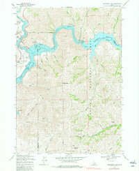
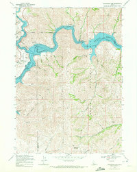
1969 Map of Arrowrock Dam
USGS Topo · Published 1982About this map
Arrowrock Dam anchors this mountainous landscape where the Boise River is transformed into a series of massive reservoirs at the convergence of Boise, Ada, and Elmore counties. This 1969 field-checked survey reveals a rugged wilderness increasingly managed for public recreation, marked by the Macks Creek Recreation Site and Spring Shores Recreation Site along the winding shores of Lake Boise.
Find a feature on this map
46 named features on this map. Tap any name to fly to it.
Don’t see what you’re looking for? This feature index may not catch every label — zoom into the map to look around manually.
Map Details
Editions of this 1969 Arrowrock Dam Map
2 editions found
Other maps of this area

1892 · Mountain Home
USGS Topo · 1:125,000

1892 · Boise
USGS Topo · 1:125,000

1892 · Bisuka
USGS Topo · 1:125,000

1893 · Mountain Home
USGS Topo · 1:125,000

1894 · Bisuka
USGS Topo · 1:125,000

1894 · Idaho Basin
USGS Topo · 1:125,000

1897 · Boise
USGS Topo · 1:125,000

1949 · Robie Creek
USGS Topo · 1:24,000

1954 · Boise
USGS Topo · 1:62,500

1955 · Hailey
USGS Topo · 1:250,000