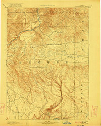
1893 Map of Camas Prairie
USGS Topo · Published 1922About this map
Pine Grove stands as a primary settlement point in this high-altitude landscape surveyed in the late 19th century, situated near the northern bend of the Boise River. The topography transitions from the timbered reaches of the Boise National Forest and Sawtooth National Forest into a series of distinctive plateaus, including Little Camas Prairie, High Prairie, and the namesake Camas Prairie. The drainage patterns here are remarkably detailed, showing how water moves through the canyons of Little Canon Creek and King Hill Creek south toward the Snake River. This 1889 survey captures the region before extensive modernization, emphasizing the natural grazing lands and the intricate network of watercourses like Bennett Creek and Athol Creek that defined early ranching and transit corridors across Elmore, Camas, and Gooding counties.
Find a feature on this map
23 named features on this map. Tap any name to fly to it.
Don’t see what you’re looking for? This feature index may not catch every label — zoom into the map to look around manually.
Map Details
Editions of this 1893 Camas Prairie Map
4 editions found
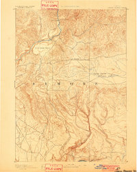
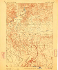
Other maps of this area

1892 · Mountain Home
USGS Topo · 1:125,000

1892 · Camas Prairie
USGS Topo · 1:125,000

1893 · Mountain Home
USGS Topo · 1:125,000

1893 · Camas Prairie
USGS Topo · 1:125,000

1894 · Idaho Basin
USGS Topo · 1:125,000

1894 · Rocky Bar
USGS Topo · 1:125,000

1900 · Sawtooth
USGS Topo · 1:125,000

1947 · Indian Cove
USGS Topo · 1:24,000

1947 · Hammett
USGS Topo · 1:24,000

1947 · Glenns Ferry
USGS Topo · 1:24,000