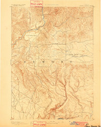
1893 Map of Camas Prairie
USGS Topo · Published 1901About this map
The high plains and river systems of Elmore County are captured here during a reconnaissance survey led by geographer A.H. Thompson and topographer W.T. Griswold. The landscape is defined by its expansive plateaus, including the large Camas Prairie in the east and the more localized Little Camas Prairie and High Prairie to the west. These elevated grasslands were essential to the region's early cattle and agricultural development before more intensive irrigation reshaped the Idaho territory.
Find a feature on this map
20 named features on this map. Tap any name to fly to it.
Don’t see what you’re looking for? This feature index may not catch every label — zoom into the map to look around manually.
Map Details
Editions of this 1893 Camas Prairie Map
4 editions found
Other maps of this area

1892 · Mountain Home
USGS Topo · 1:125,000

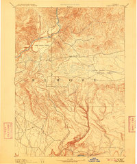
1892 · Camas Prairie
USGS Topo · 1:125,000

1893 · Mountain Home
USGS Topo · 1:125,000

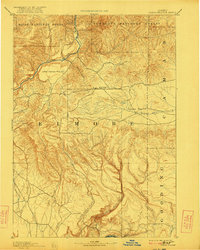
1893 · Camas Prairie
USGS Topo · 1:125,000

1894 · Idaho Basin
USGS Topo · 1:125,000

1894 · Rocky Bar
USGS Topo · 1:125,000

1900 · Sawtooth
USGS Topo · 1:125,000

1947 · Indian Cove
USGS Topo · 1:24,000

1947 · Hammett
USGS Topo · 1:24,000

1947 · Glenns Ferry
USGS Topo · 1:24,000