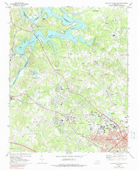
1969 Map of Mountain Island Lake
USGS Topo · Published 1988About this map
The Catawba River and the industrial growth of Charlotte define this landscape during the late 1960s. The northern reaches are dominated by Mountain Island Lake and utility infrastructure like the Powerplant and Duke Power Village. This area illustrates the mid-century transition from rural Mecklenburg County to a suburbanized energy and transport corridor. Significant transportation lines, including the Seaboard Coast Line and Rozzelle Bridge, connect outlying settlements such as Shuffletown and Sodyeco to the expanding city center.
Find a feature on this map
80 named features on this map. Tap any name to fly to it.
Don’t see what you’re looking for? This feature index may not catch every label — zoom into the map to look around manually.
Map Details
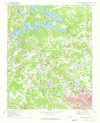
Editions of this 1969 Mountain Island Lake Map
2 editions found
Other maps of this area

1905 · Charlotte
USGS Topo · 1:48,000

1907 · Charlotte
USGS Topo · 1:62,500

1914 · Gastonia
USGS Topo · 1:48,000

1916 · Gastonia
USGS Topo · 1:62,500

1941 · Charlotte
USGS Topo · 1:125,000

1942 · Charlotte
USGS Topo · 1:125,000

1947 · Clover
USGS Topo · 1:62,500

1948 · Paw Creek
USGS Topo · 1:24,000

1948 · Derita
USGS Topo · 1:24,000

1948 · Charlotte East
USGS Topo · 1:24,000