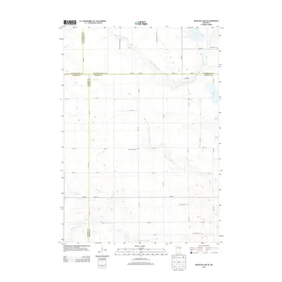
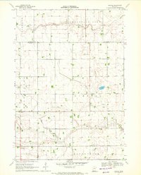
2013 Map of Mountain Lake SE
USGS Topo · Published 2013About this map
The borderlands of Watonwan and Martin counties are defined by a quiet agricultural landscape carved by glacial waterways. In this corner of southern Minnesota, the S Fork Watonwan River meanders through the northern section, while Elm Cr and Cedar Cr traverse the central and southern reaches. The map reveals a dense network of rural roads, such as Co HWY-21, which follow the rigid section lines of the Public Land Survey System.
Find a feature on this map
42 named features on this map. Tap any name to fly to it.
Don’t see what you’re looking for? This feature index may not catch every label — zoom into the map to look around manually.
Map Details
Editions of this 2013 Mountain Lake SE Map
This is the sole edition of this map. No revisions or reprints were ever made.
Other maps of this area

1954 · Fairmont
USGS Topo · 1:250,000

1958 · Fairmont
USGS Topo · 1:250,000

1970 · Jackson NW
USGS Topo · 1:24,000
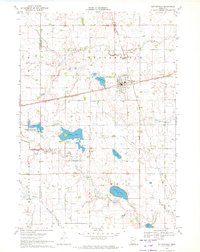
1970 · Butterfield
USGS Topo · 1:24,000
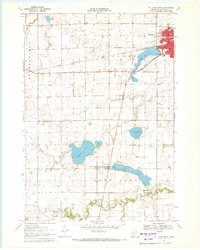
1970 · St James West
USGS Topo · 1:24,000

1970 · Trimont
USGS Topo · 1:24,000

1970 · Mountain Lake SE
USGS Topo · 1:24,000
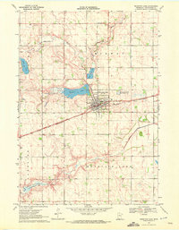
1970 · Mountain Lake
USGS Topo · 1:24,000
1970 · Bergen
USGS Topo · 1:24,000

1970 · Sherburn
USGS Topo · 1:24,000