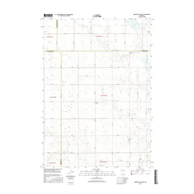
2016 Map of Mountain Lake SE
USGS Topo · Published 2016About this map
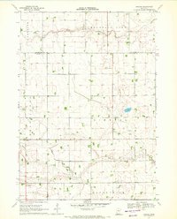
The S Fork Watonwan River and Elm Cr systems anchor this agricultural landscape at the meeting point of Cottonwood, Watonwan, Jackson, and Martin Counties. The terrain is characterized by a series of glacial lakes along the eastern boundary, including Irish Lake, Fish Lake, Buffalo Lake, and North Lake. This area serves as a significant record for genealogical research, as evidenced by the distribution of several denominational burial grounds throughout the rural townships. Notable sites include Zion Lutheran Cem in the northeast, Saint Olaf Cem along the river, and Cedar Lutheran Cem. The organized grid of county roads, such as Co HWY 7 and Co HWY 40, facilitates navigation through this prairie-river environment, connecting isolated landmarks like Cedar Hill Cem and the First Lutheran Cem in the southern reaches of the quadrangle.
Find a feature on this map
50 named features on this map. Tap any name to fly to it.
Don’t see what you’re looking for? This feature index may not catch every label — zoom into the map to look around manually.
Map Details
Editions of this 2016 Mountain Lake SE Map
This is the sole edition of this map. No revisions or reprints were ever made.
Other maps of this area

1954 · Fairmont
USGS Topo · 1:250,000

1958 · Fairmont
USGS Topo · 1:250,000

1970 · Jackson NW
USGS Topo · 1:24,000
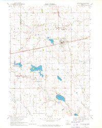
1970 · Butterfield
USGS Topo · 1:24,000
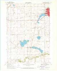
1970 · St James West
USGS Topo · 1:24,000

1970 · Trimont
USGS Topo · 1:24,000

1970 · Mountain Lake SE
USGS Topo · 1:24,000
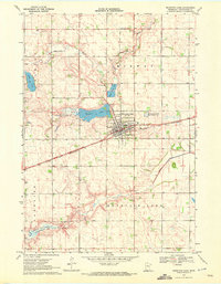
1970 · Mountain Lake
USGS Topo · 1:24,000
1970 · Bergen
USGS Topo · 1:24,000

1970 · Sherburn
USGS Topo · 1:24,000